地块级航空高光谱遥感土地覆盖制图及其精度评估
Geo-parcel Airborne Level Hyperspectral Remote Sensing Land Cover Mapping and Accuracy Assessment
地块级航空高光谱遥感土地覆盖制图及其精度评估 |
| 董世英,吴田军,焦思佳 |
|
Geo-parcel Airborne Level Hyperspectral Remote Sensing Land Cover Mapping and Accuracy Assessment |
| Shiying DONG,Tianjun WU,Sijia JIAO |
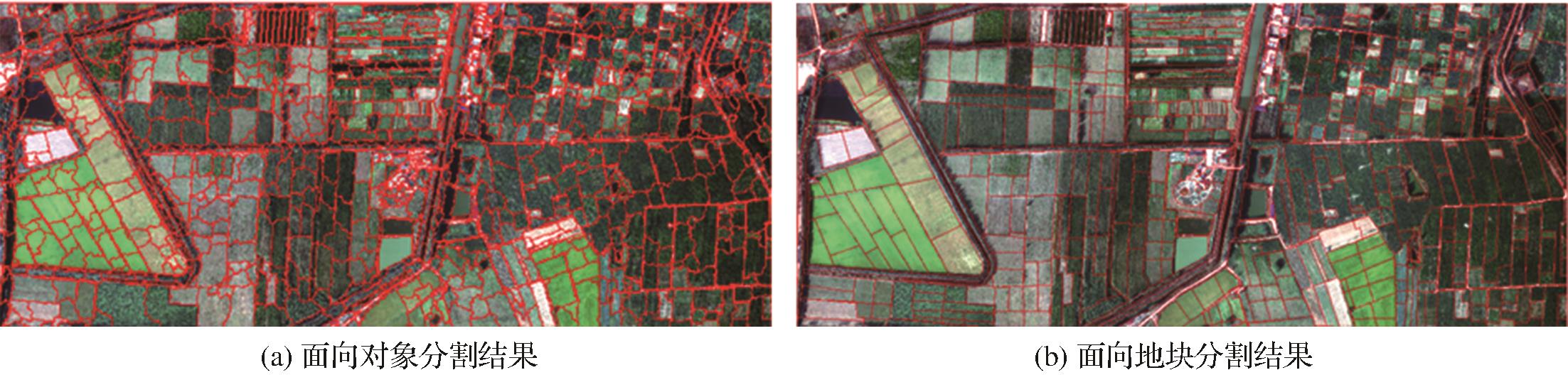
| 图6 不同单元土地分割结果 |
| Fig.6 Results of land segmentation using different units |
|
|